Loxahatchee Slough - The Fourth Visit

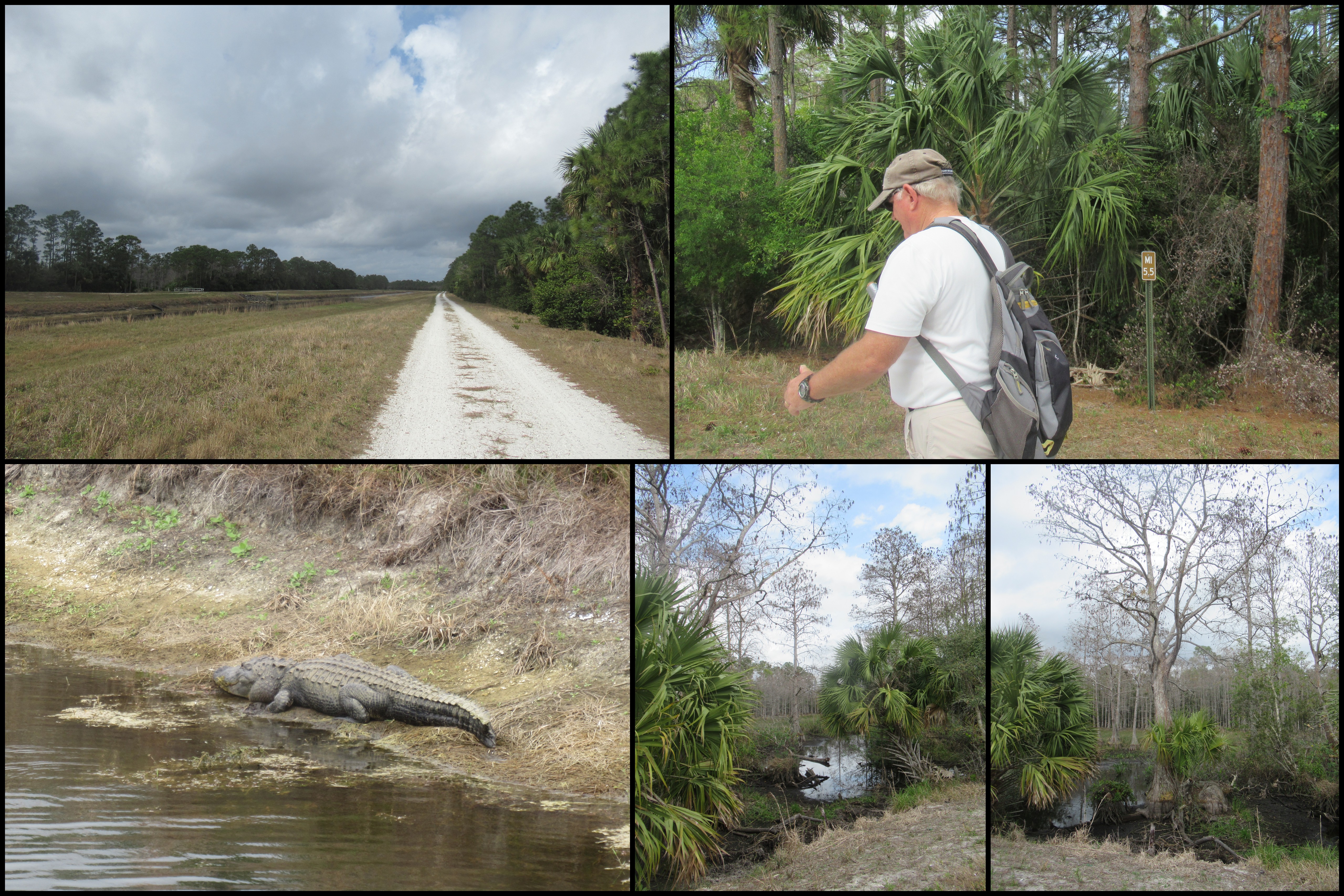
The plan for this visit to Loxahatchee Slough Natural Area was to hike the Pantano Trail, which is basically a dike hike, but first we had to get there! We didn't have maps with the actual mileage, so estimated it at about 8 miles round trip. Fortunately, it was a beautiful day, and far enough into the dry season that we didn't even get our feet wet! Unfortunately, we underestimated the distance. Our original plan was to start at the parking lot, hike north to the observation tower, then take the Ocean-to-Lake Trail to the canal, head west to the park boundary, then retrace our steps back. That would have made the actual hike just over 14 miles. When we reached the turn-around point, we were pretty tired. We also noticed that we could see the Beeline Highway and it didn't look like there were any obstacles to prevent us from walking along the road to where the Ocean-to-Lake Trail intersected it and went into the natural area. So, that's what we did, making a big circle of just under 11 miles. Our aging joints appreciated the shorter distance.

Here are the pictures I took. As mentioned, first we followed trails we had already traversed - see here and here.


Comments