Atlantic Ridge Preserve - The Fifth Visit

We've been waiting a long time to return to Atlantic Ridge Preserve State Park to do another hike; this isn't necessarily a place you want to visit during the rainy season. We did have to cross a few streams today, and slosh through some wet spots, but it wasn't for the entire time, and it was a beautiful, sunny day. We enjoyed our hike at the park.

This park is geared to equestrians, and we had some company for our first little bit, passing by Post #3 on our way to Post #7. (Since our last visit, the roadway into the event field disintegrated. Fortunately, it was still passable for walkers.)


Turning south at Post #11, we were on new-to-us trails, although the scenery was very similar to other areas we've hiked.


The plan was to take a little spur to connect to a previously-hiked trail (near Post #18). When a thigh-high creek stood in the way, I passed, but Wayne wasn't going to let a little water stand in his way!


Five minutes later he was back and we headed north. However, we soon had to cross that stream again in another location. Fortunately, it was only knee-high in this spot.

After making it to Post #17, we started looking for the side trail that would take us northeast up and around to Post #15. Although not marked, there was a faint trail heading the right way, but after going down it just a bit it didn't feel right. So, we turned around and figured we'd try getting to Post #15 from the other direction.


That worked. We found Post #10 and headed east. More water!

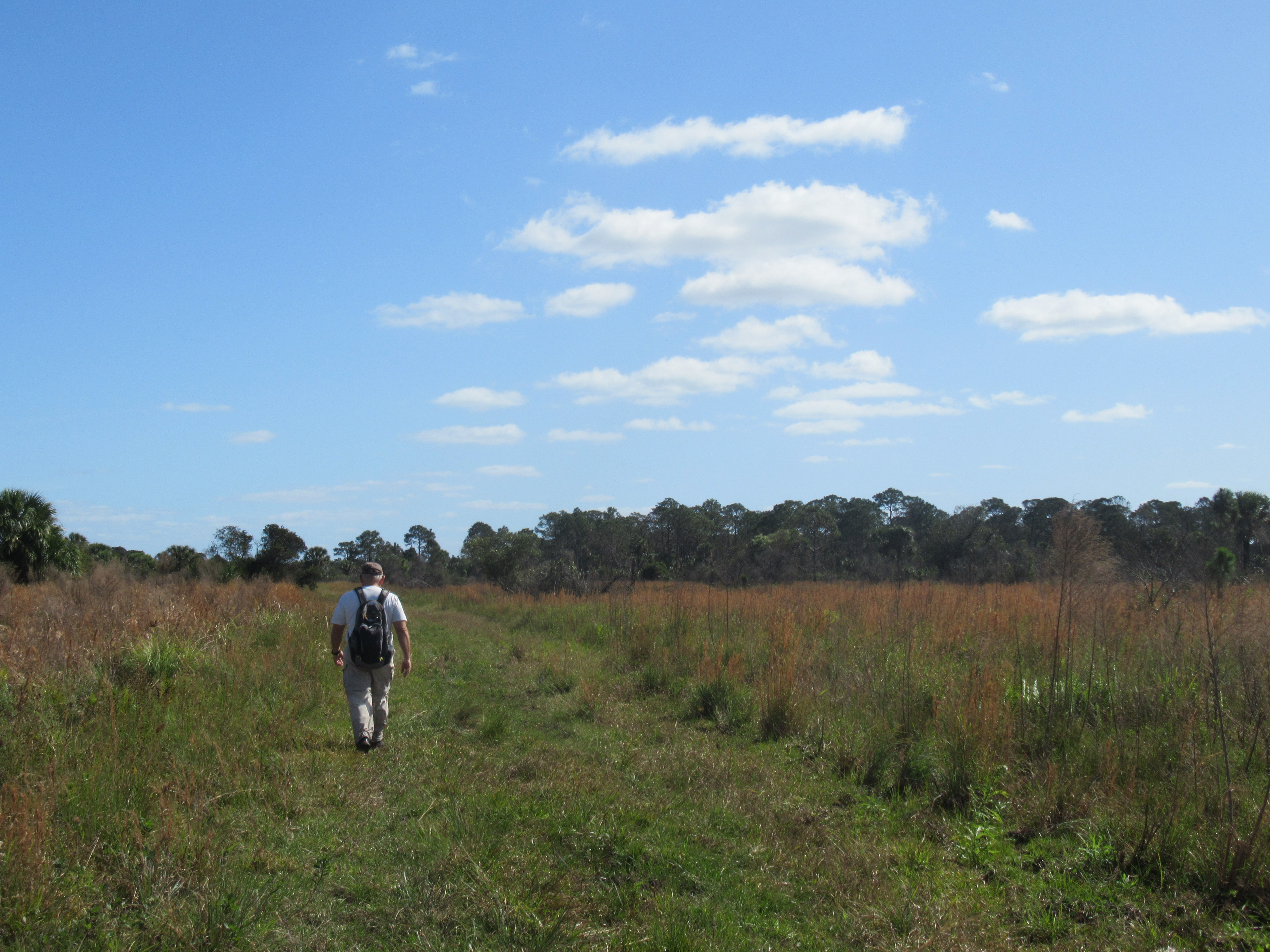
And the scenery changed a bit - from pine and palmetto to "cattle grazing" grass.

Just past Post #15, we came to the boundary of the park. Next time we'll turn north and go to Post #14 (which we saw in the distance), but this time we turned south and followed the park boundary.


It was a bit sloshy in places, but easily traversed. And we made it Post #17, discovering that the map had it located at the wrong intersection! Hopefully, this will help someone else not make that mistake.
.jpg)
From there we retraced our steps back to Post #10, and then decided to go the teeny bit further to Post #9. (For future reference, there's a wet, marshy spot to cross between Posts 10 and 11.)


We had wanted to take the little spur south to Post #11, but never saw where it started. We'll have to take it going north on our next hike. From Post #7 to Post #3 to the parking area, we knew exactly where we were.


The end! We planned for today's hike to be about 8 miles. Even with the backtracking, it turned out to be 7.39 miles. Not too bad at all. Hopefully it won't take another 8 months for us to return to this beautiful state park.
Comments