Revisiting Dyer Park
We decided to spend the Presidents' Day holiday back at Dyer Park, doing the next hike on the list. This time it was a series of 3 trails (because the 4th one* didn't exist) on what we called the bike hill. First up was the winding dirt bike trail. According to the county park website this 2.4-mile, single-track trail, built upon the face of a previous landfill, which has been converted into a natural setting and then transformed into a winding, climbing/descending single-track trail, is the only location in South Florida with appreciable climbs and descents.

If you look closely, you'll see the little dirt trail zig-zagging back and forth.


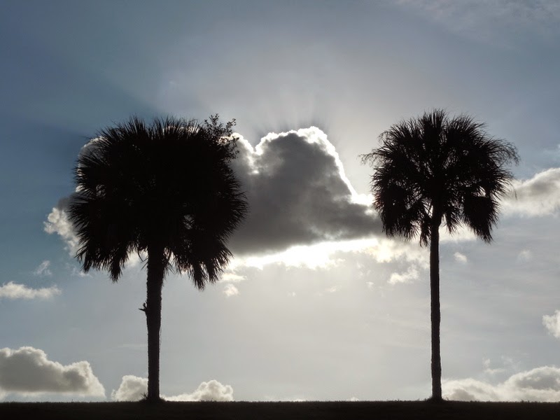
Here's my favorite picture of the day:
The dirt bike trail wound around the sloping sides of the hill, and once we were done with that, we joined the bikes on the paved path around the perimeter of the top.


The first trail could be considered a hike; the second one was definitely a walk around the park!

So was the third one, which was a paved loop around the base of the hill.

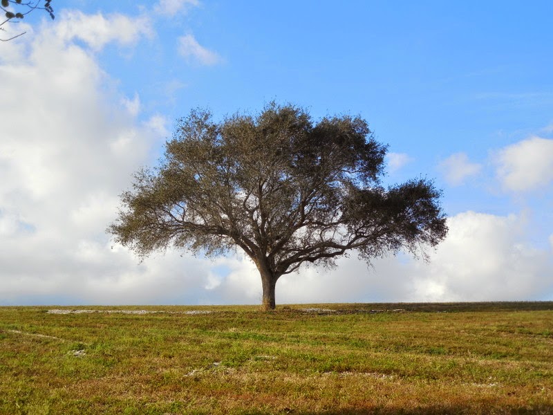
This picture reminds me of the view from our kitchen window when I was a teenager, of the rolling California hills. All it needs are a few cows and some additional height.


.png)
Comments